PAS 128 is the specification for underground utility detection, verification, and location. Published by the British Standards Institution (BSI), it provides a framework for how underground utility surveys should be planned, carried out, and reported. If you commission, deliver, or work on projects that involve underground utility surveys, PAS 128 is the standard your work should align with.
What PAS 128 Actually Is
PAS 128 is not a qualification and it is not a training course. It is a publicly available specification that defines four types of underground utility survey, each with a different scope, methodology, and level of confidence in the results. It was first published in 2014 and has been updated since to reflect changes in technology and practice. The specification is used across the UK by utility companies, local authorities, highway agencies, and principal contractors to define what standard of survey is required for a given project.
The Four Survey Types
Type D: Desktop Utility Records Search
Type D is a desk-based exercise. It involves gathering existing utility records from asset owners, local authorities, and other sources, then compiling them into a single composite plan. No site work is carried out. Type D is typically the starting point for any project and provides the baseline information that informs subsequent survey types. The limitation of Type D is that the records it relies on are only as accurate as the data held by the asset owners. Positional accuracy can be poor, and not all services may be recorded.
Type C: Site Reconnaissance
Type C adds a visual inspection of the site to the desktop records. The surveyor walks the area, identifies visible surface features such as manhole covers, valve boxes, meter cabinets, and overhead lines, and correlates them with the records gathered in Type D. This improves the accuracy of the composite plan by confirming which services are present and identifying any that were not shown on the records. No electronic detection equipment is used at this stage.
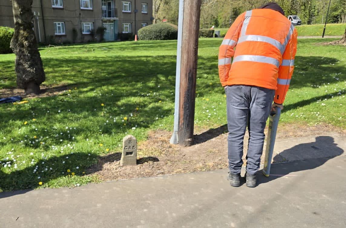
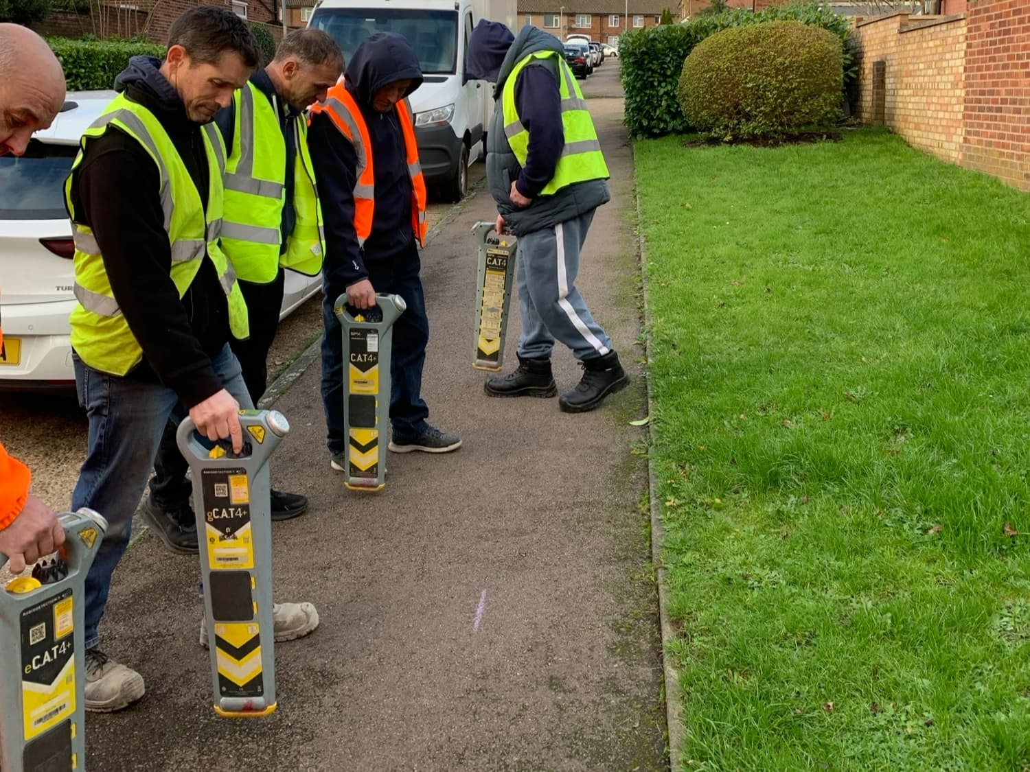
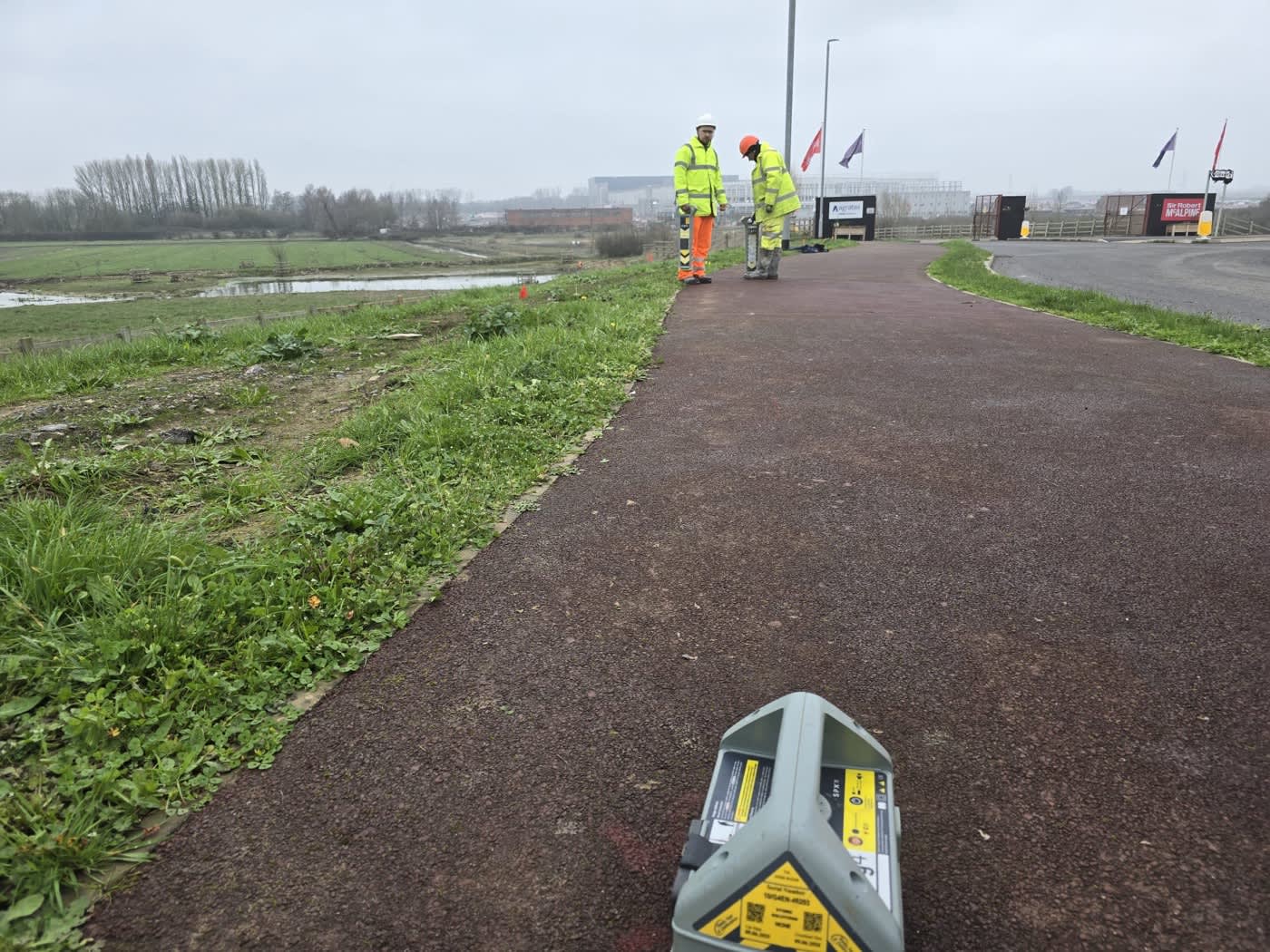
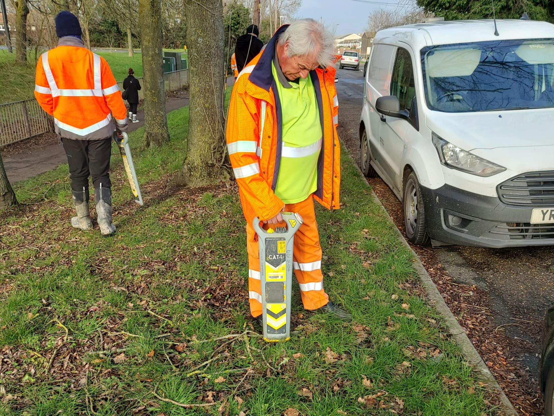
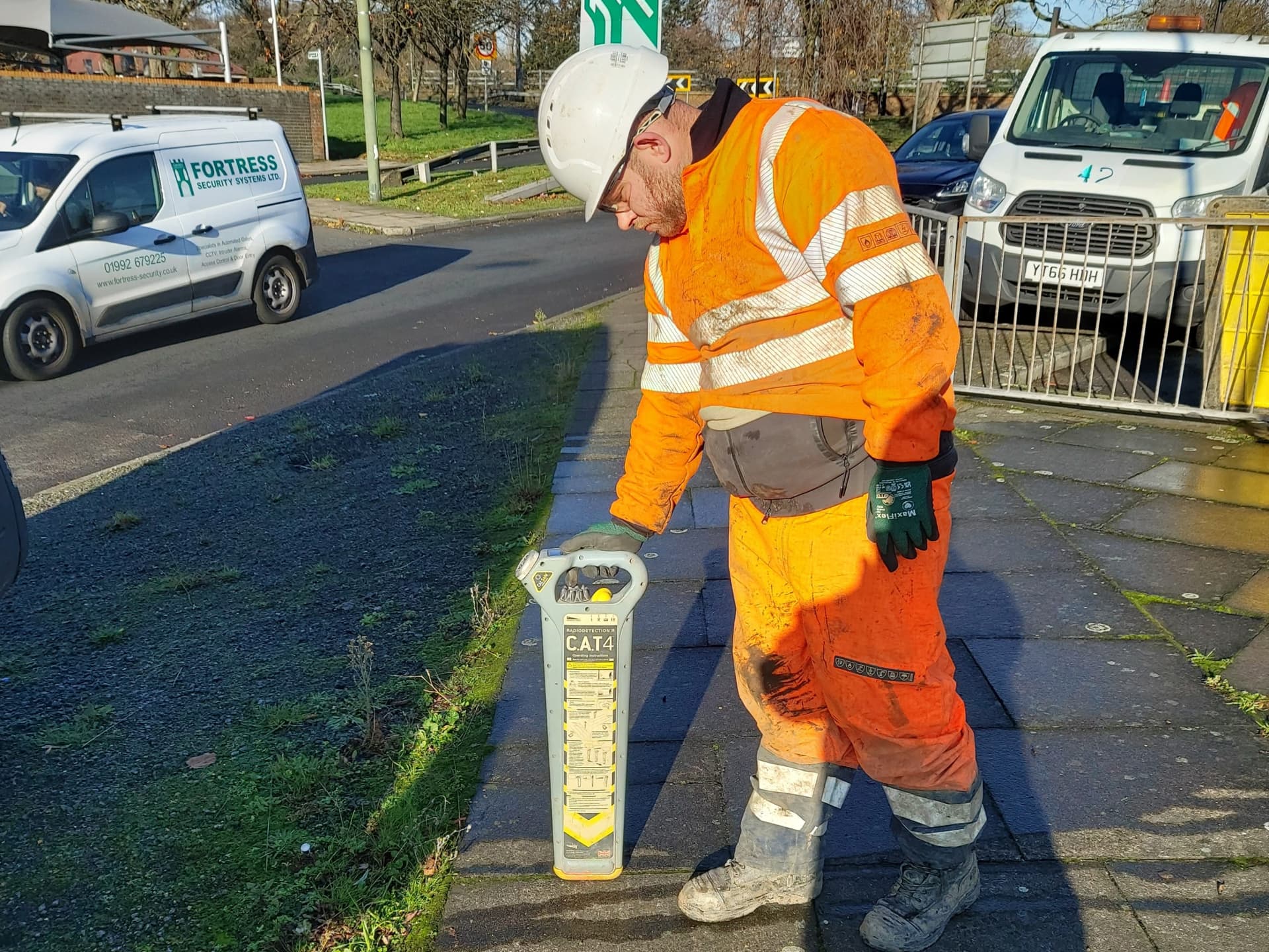
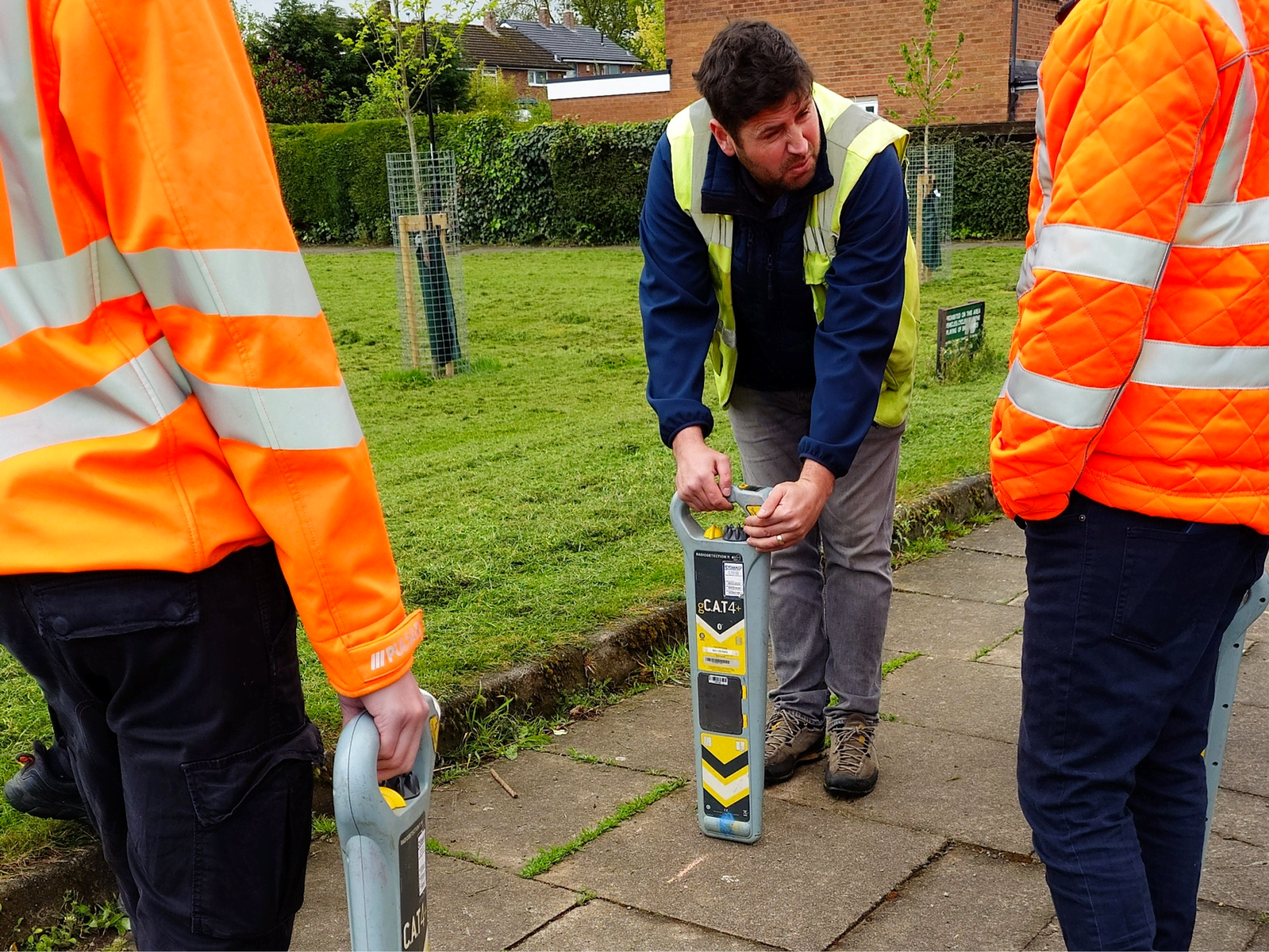
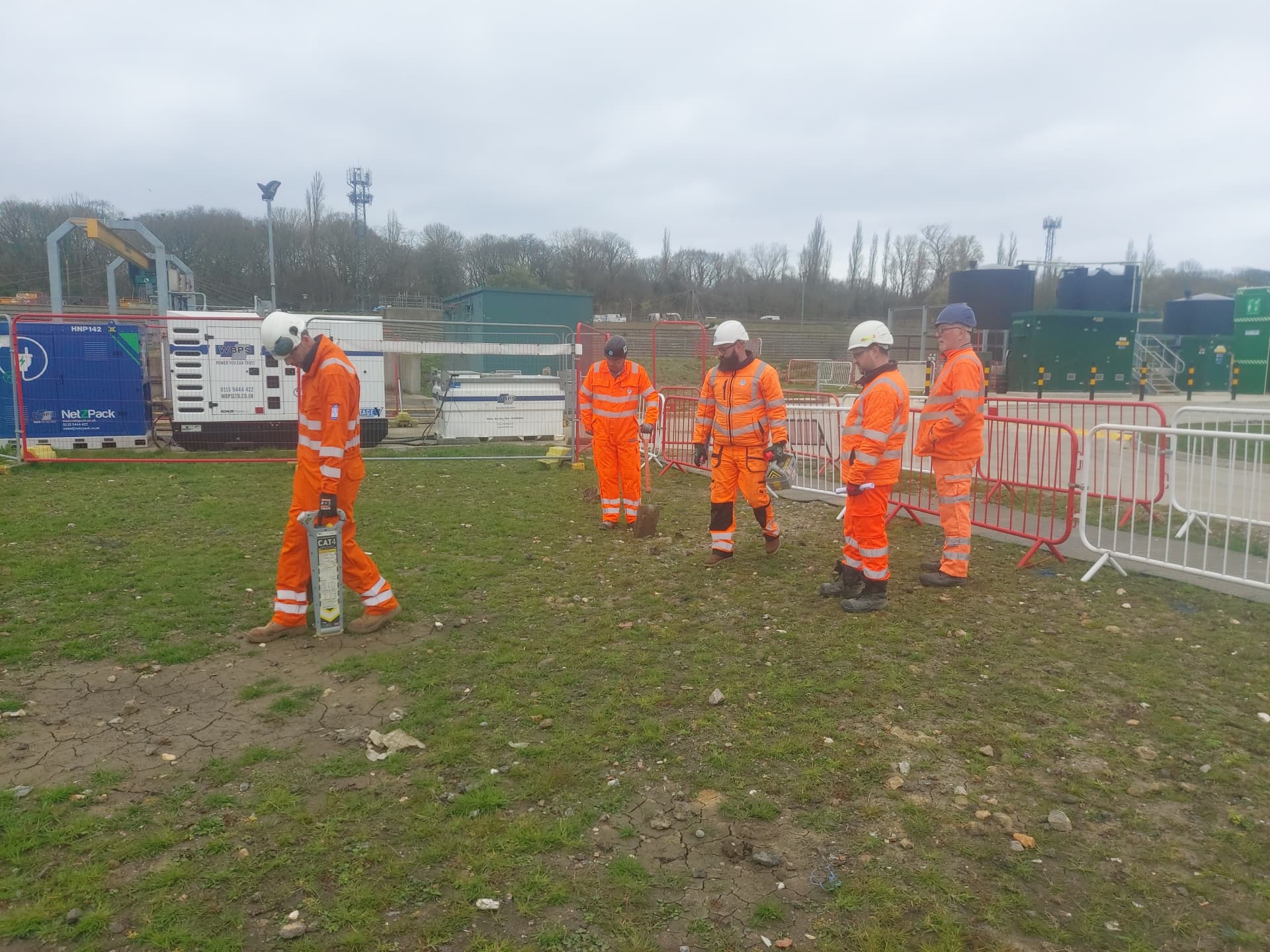
Type B: Detection
Type B is where electronic detection equipment is used to locate buried services. This includes electromagnetic locators (CAT and Genny), ground penetrating radar (GPR), and other geophysical techniques. The survey is non-intrusive, meaning no excavation is carried out. The results are plotted to provide positional information about the horizontal location of detected services. Depth estimates may be provided but are subject to limitations depending on the equipment and conditions. Type B surveys produce the most detailed non-intrusive picture of what is below the surface, but they cannot determine the exact nature, condition, or precise depth of every service detected.
Type A: Verification
Type A involves physical exposure of services through trial holes or vacuum excavation. This is the only way to confirm the exact position, depth, size, material, and condition of a buried service. Type A surveys are used at critical locations where absolute certainty is required, such as at the point of a proposed pile, borehole, or structural foundation. They are the most expensive and time-consuming survey type but provide the highest level of confidence.
Why This Matters for Training
If your operatives carry out Type B detection surveys, they need training that covers the full range of detection techniques specified in PAS 128. This goes beyond basic CAT and Genny operation. It includes an understanding of when to use GPR, how to interpret geophysical data, and how to report results to the standard required by the specification. A standard EUSR CAT1 or ProQual CAT1 course covers cable avoidance, not utility mapping. Operatives working on PAS 128 projects need specialist training in addition to their base cable avoidance qualification.
For those commissioning surveys, understanding the four types helps you specify the right level of survey for your project. Over-specifying is expensive. Under-specifying creates risk. A Type D desktop search might be sufficient for a simple footway excavation, while a highway improvement scheme might require Type B detection across the full site with Type A verification at critical points.
How Sygma Supports PAS 128 Practice
Sygma delivers training at every level of the PAS 128 framework. For operatives who need to understand what PAS 128 means for their daily work, our PAS 128 Awareness course covers the specification, survey types, and quality requirements. For surveyors who carry out Type B detection surveys, our 5-Day PAS 128 Surveyor course covers electromagnetic location, GPR operation, data processing, and reporting. For organisations that need fully qualified utility surveyors, our Level 3, 4, and 5 qualifications provide the formal educational pathway recognised by the industry.