Qualifications
ProQual Level 4 Diploma in Utility Mapping and Surveying
The advanced specialist qualification for utility surveyors: demonstrating competency in electromagnetic location and ground penetrating radar. Contact us to discuss enrolment and pricing.
Qualification
ProQual Diploma
Level
Level 4 (Ofqual-regulated)
Prerequisite
Level 3 Certificate required
Pricing
Contact us for pricing
Equipment
MALA GPR, Leica DSX, Radiodetection RD8200
Delivery
Wigan centre, online & in-house
The Qualification
What Is the ProQual Level 4 Diploma in Utility Mapping and Surveying?
The ProQual Level 4 Diploma in Utility Mapping and Surveying is an Ofqual-regulated qualification that develops and assesses advanced competency in electromagnetic (EM) detection methods and ground penetrating radar (GPR) for underground utility location. It is the second level in the ProQual utility mapping pathway and must be completed before progressing to the Level 5 Diploma.
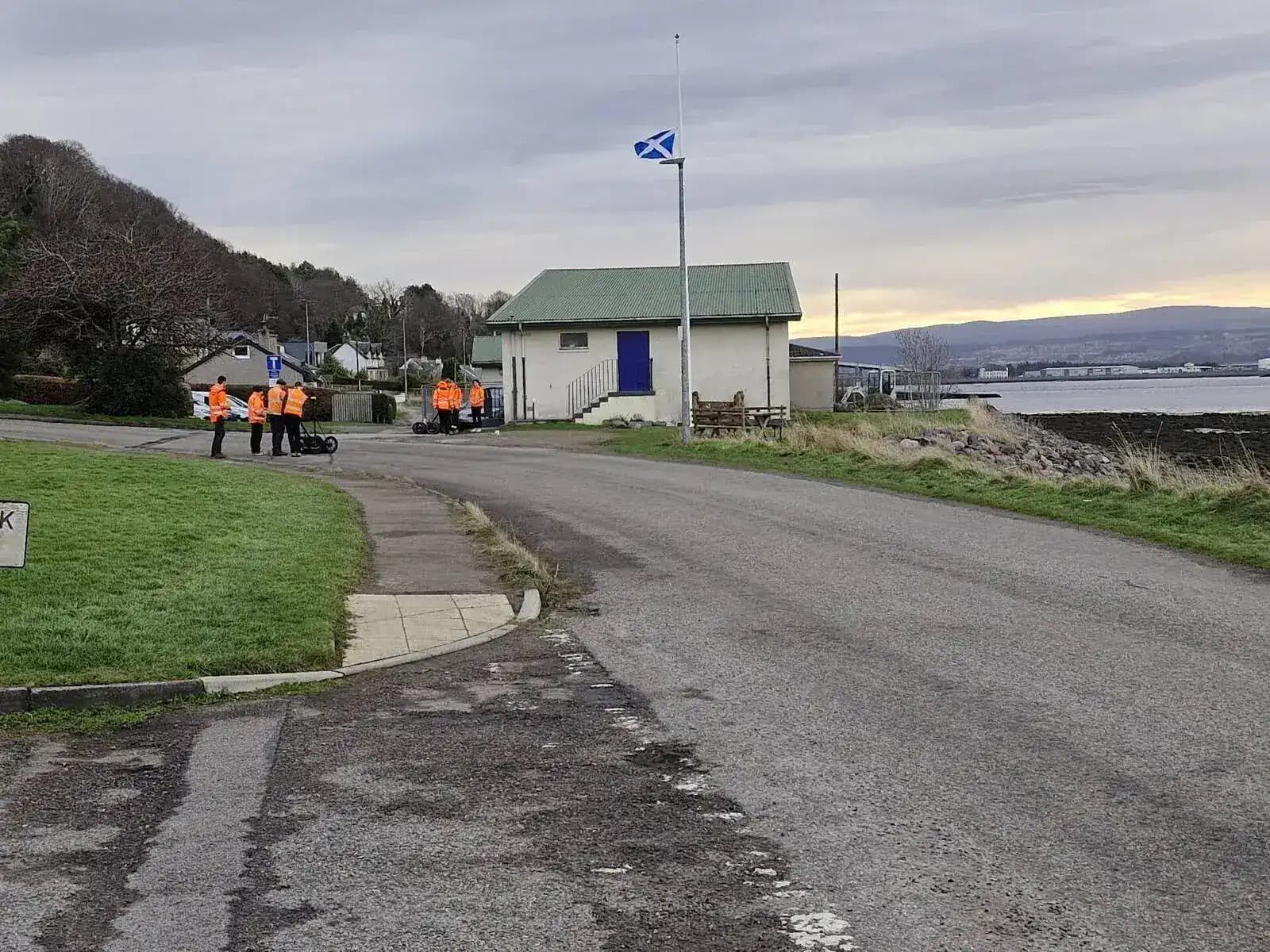
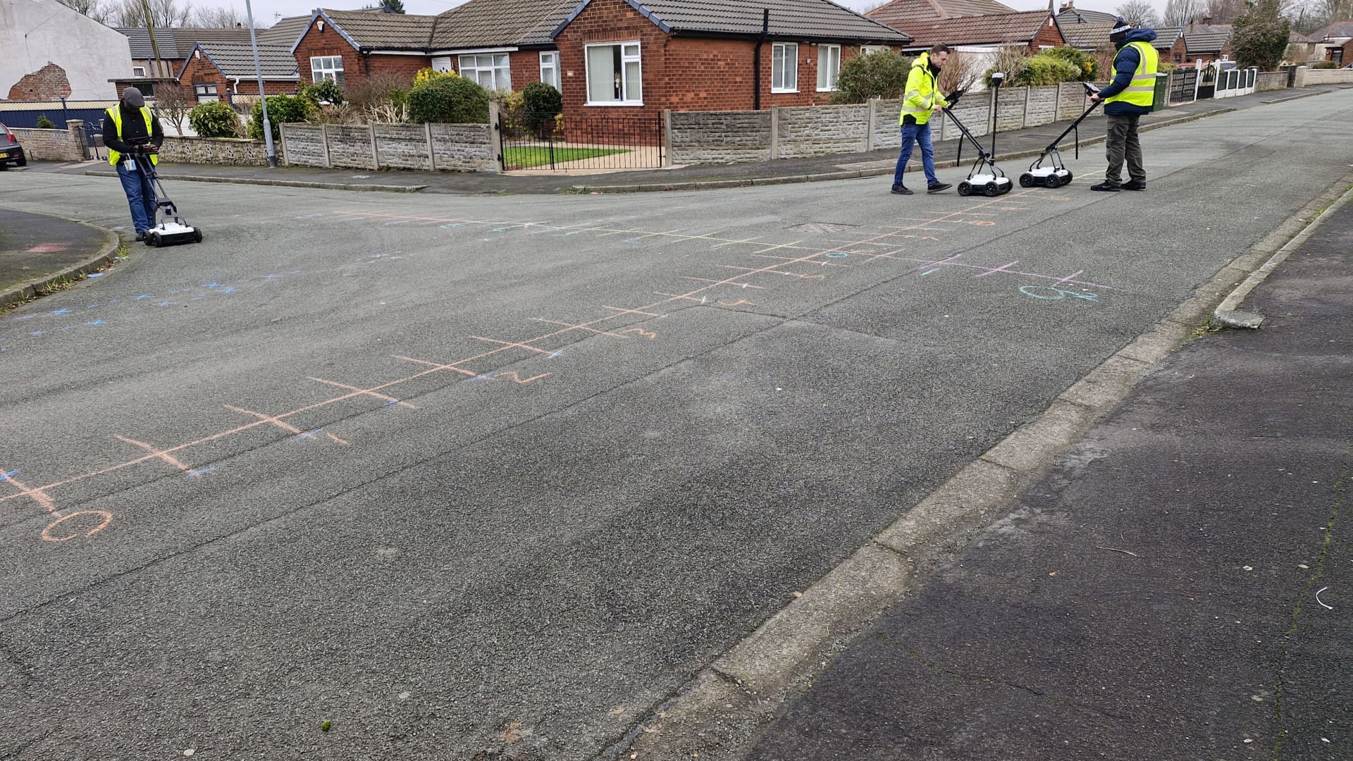
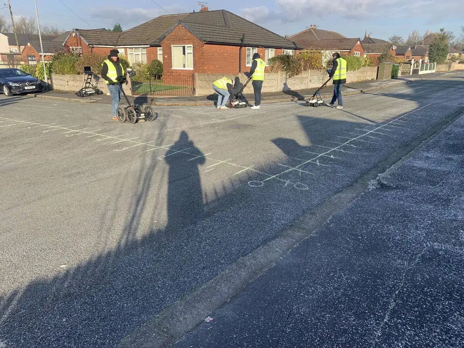
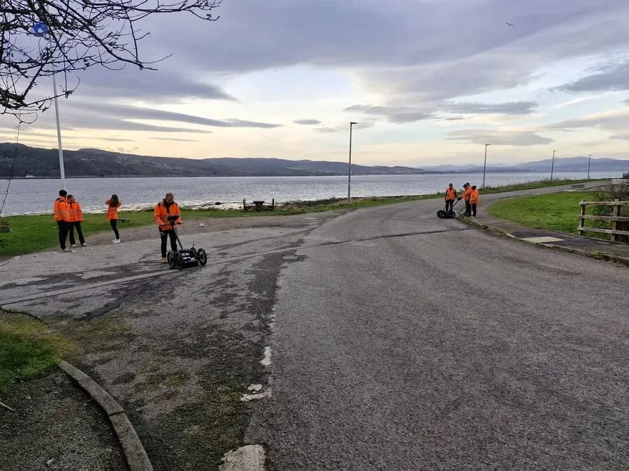
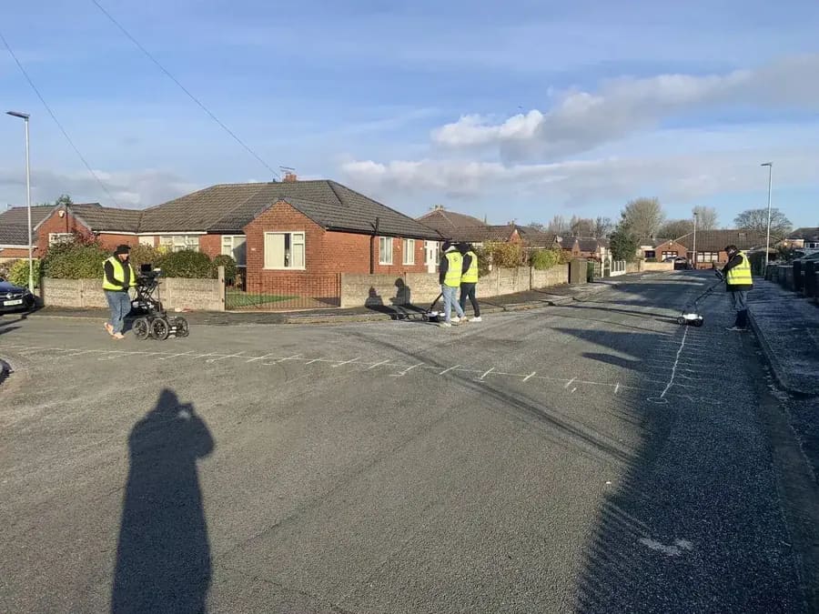
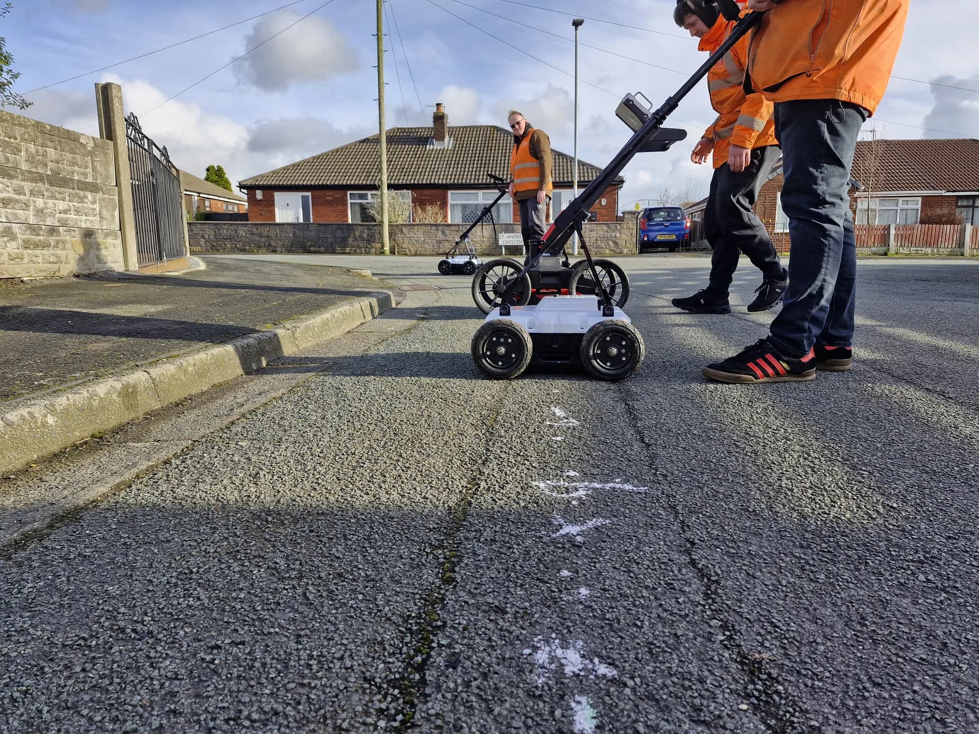
Where the Level 3 Certificate focused on desktop surveys and site reconnaissance (PAS128 Quality Levels D and C), the Level 4 Diploma progresses into the practical detection phase of utility surveying. This is the qualification that demonstrates a candidate can carry out a PAS128 Quality Level B detection survey using the correct equipment, methods, and survey protocols.
Assessment is through a structured evidence portfolio and workbook, completed against the ProQual assessment criteria. Sygma's assessors guide each candidate through the process and help identify the most efficient route through the evidence requirements.
EM Detection Evidence
ICES GEUS01 E and G
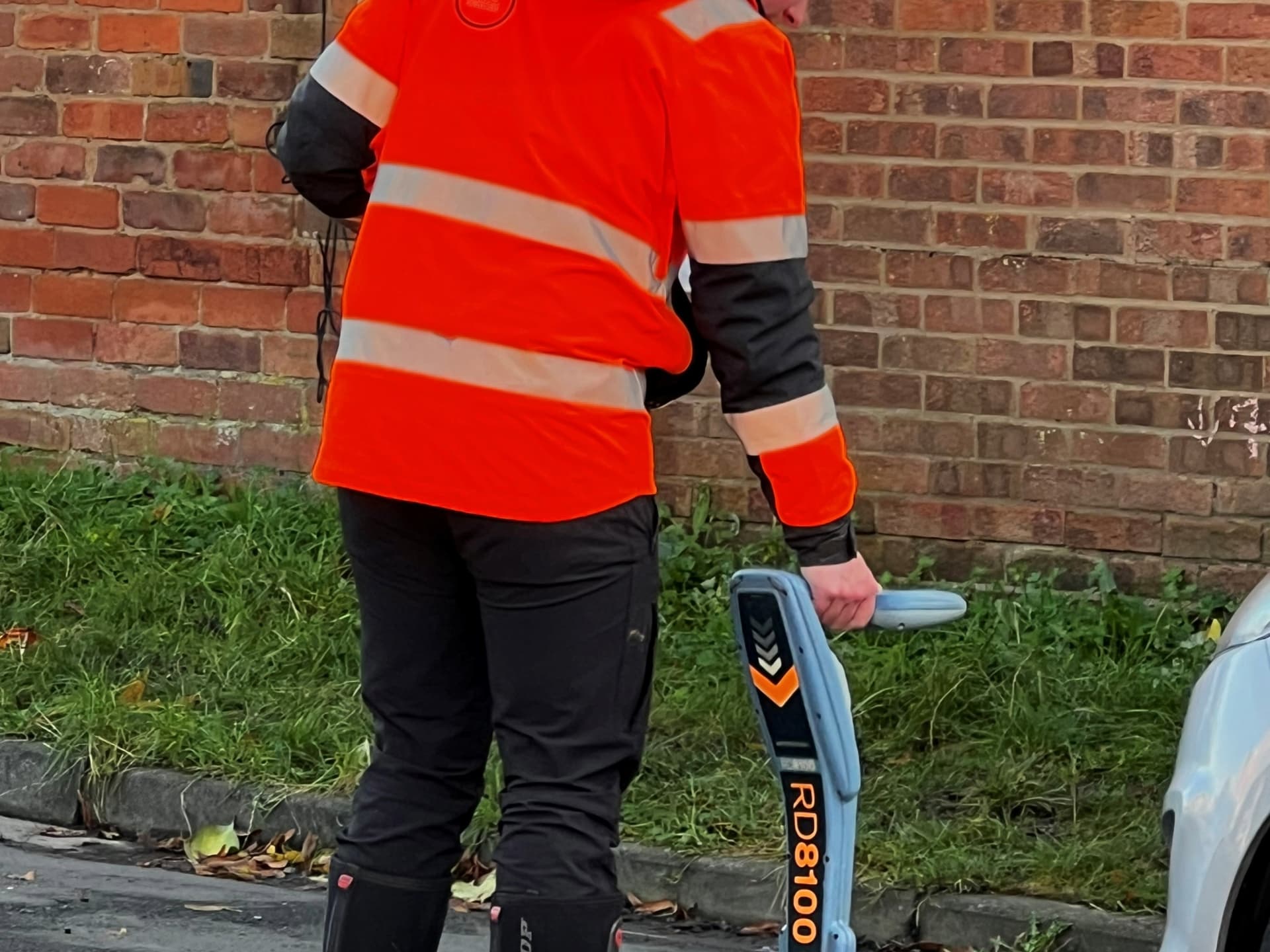
Advanced electromagnetic detection: use of EM equipment in active, passive, and induction modes; signal interpretation; depth estimation and verification; frequency selection; avoidance of signal interference.
GPR Evidence
ICES GEUS01 F (Part 1)
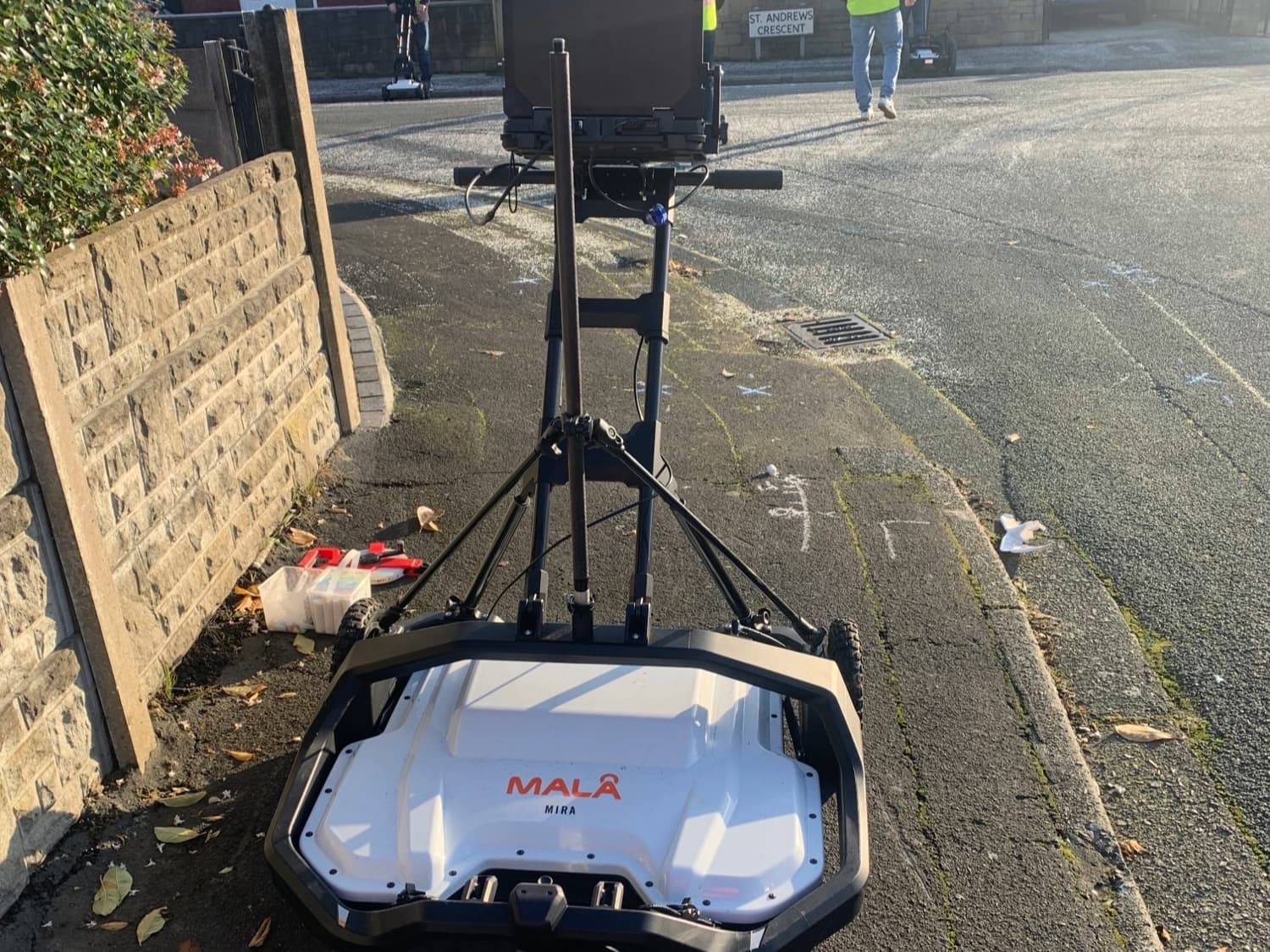
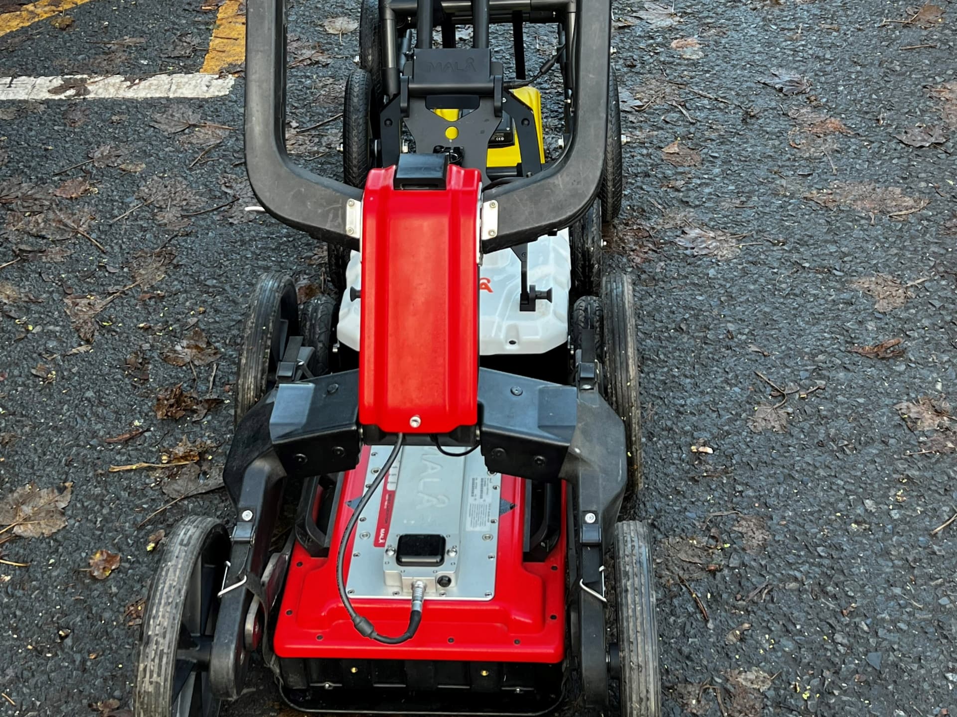
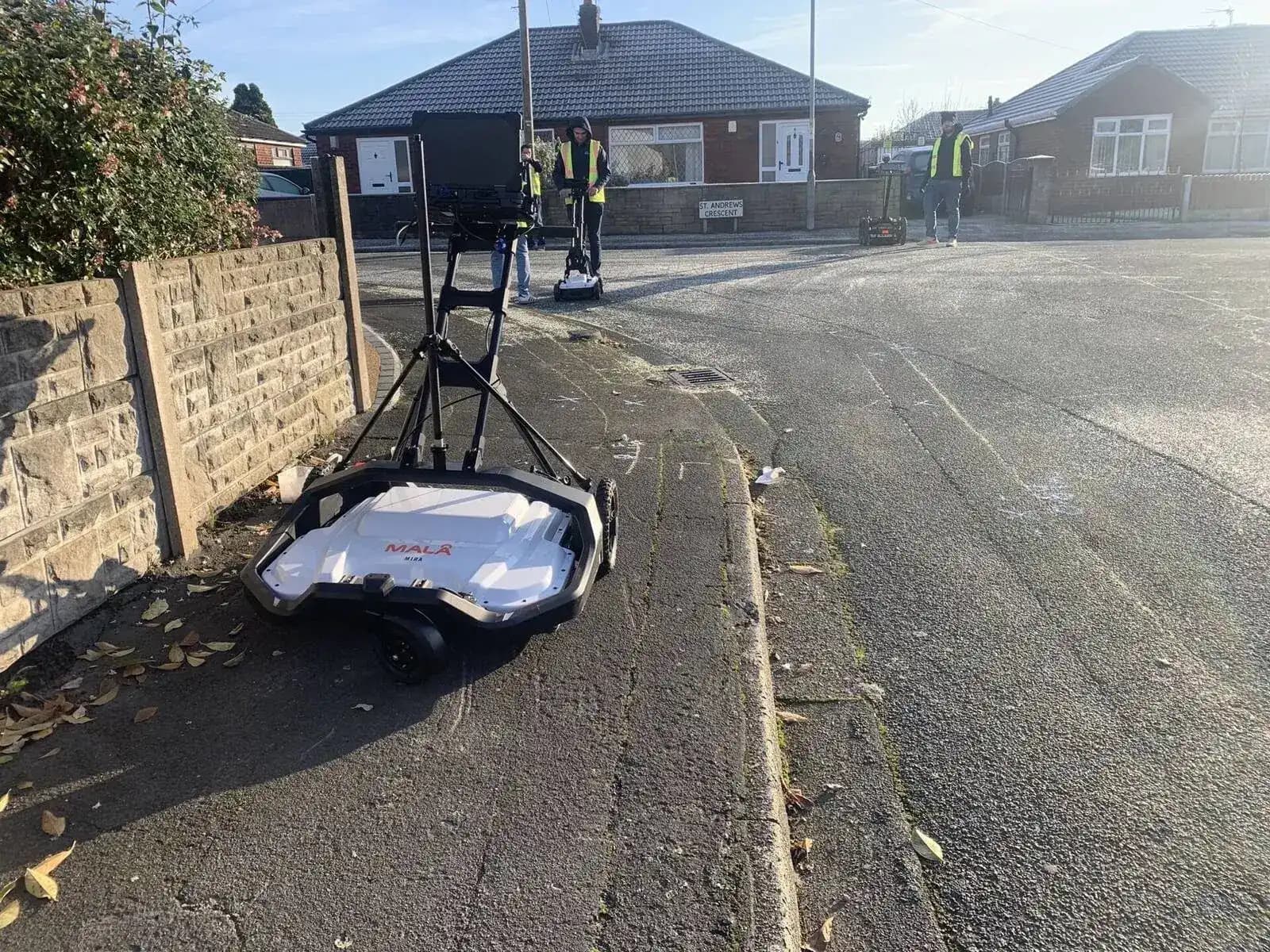
Ground penetrating radar: GPR operating principles; radargram interpretation; hyperbola identification; depth and velocity calibration; field data collection including GPS integration.
Audience
Who Is This Qualification For?
Practising Utility Surveyors
Surveyors who carry out PAS128 Quality Level B detection surveys and want a nationally recognised qualification to evidence their skills.
Candidates Who Have Completed Sygma Training
Those who have attended the 5 Day PAS128 Surveyor Course or the Advanced EM Locator Training and want to formalise that training through a qualification.
Survey Company Owners and Managers
Owners or managers who want to demonstrate team capability to clients and tendering bodies through recognised, Ofqual-regulated qualifications.
TSA/ICES Programme Candidates
Candidates working through the TSA and ICES Utility Mapping Training Programme who have completed Modules 2 and 3 (GEUS01 E&G and F Part 1) and want to convert that training evidence into a formal qualification.
Career Progression and CPD
Individuals building a qualification portfolio to support career progression, CPD requirements, or professional membership of TSA, CICES, or similar bodies.
Entry requirement: ProQual Level 3 Certificate in Utility Mapping and Surveying (or equivalent evidence of Level 3 competence agreed with the awarding body). Candidates must hold the Level 3 before they can enrol on the Level 4.
Evidence Areas
What Does the Level 4 Diploma Assess?
The Level 4 Diploma is assessed through a structured evidence portfolio demonstrating operational competence across the following areas. These align with the ICES GEUS01 competency framework used in the TSA and ICES Utility Mapping Training Programme.
| Competency Area | Key Evidence Required | ICES Mapping |
|---|---|---|
| Advanced electromagnetic location (passive and active modes) | Evidence of operating EM equipment in passive, active, induction, and clamp modes; frequency selection; signal identification; depth reading and estimation | GEUS01 E and G |
| EM signal interpretation and interference management | Evidence of understanding signal characteristics; avoidance of interference; use of current clamp and inductive methods | GEUS01 E and G |
| Transmitter connection and coupling methods | Evidence of safe and effective connection; clamp/capacitance/induction/nulling techniques on live and de-energised services | GEUS01 E and G |
| Depth estimation and verification checks | Evidence of using depth estimation mode; understanding of error factors; physical verification methods | GEUS01 E and G |
| GPR: equipment setup and operation | Evidence of GPR equipment setup; antenna selection; operating parameters; baseline scans and survey line configuration | GEUS01 F Part 1 |
| Radargram interpretation and hyperbola identification | Evidence of identifying hyperbolic reflections; understanding of velocity and depth calculations; distinguishing utility signals from noise | GEUS01 F Part 1 |
| PAS128 Quality Level B survey deliverables | Evidence of producing survey outputs that meet PAS128 Quality Level B requirements including plan accuracy and reporting | GEUS01 E, F, G |
Candidates who have attended Sygma's Advanced EM Locator Training, 5 Day PAS128 Surveyor Course, or the TSA and ICES Programme (Modules 2 and 3) will have generated significant classroom and practical evidence that can be used directly toward the Level 4 portfolio.
What You Get
Assessment Process
Evidence Portfolio and Workbook: No Exams
The Level 4 Diploma is assessed through a combination of workplace evidence and a structured knowledge workbook. There is no formal written exam. Assessment is competence-based and designed to reflect real working activity.
Online Induction
Candidates are inducted into the qualification requirements and the evidence types needed for each competency area.
Tailored Assessment Plan
Your Sygma assessor builds an assessment plan based on your current role, the training you have completed, and the evidence you already have available.
Evidence Collection
Candidates gather workplace evidence and submit it through Sygma's online e-portfolio system. Hard-copy workbooks are available for those who prefer them.
Assessor Review and Mentoring
Your Sygma assessor reviews your evidence submissions and provides feedback and guidance. Open day sessions at the Wigan centre can be used for face-to-face assessments.
Gap-Filling and Top-Up
Where workplace evidence does not cover the full range of criteria, candidates can attend open days or in-house sessions to address specific gaps through supervised practical work.
Certification
On successful completion of all units, the ProQual Level 4 Diploma certificate is awarded.
Pricing
Full Assessment Support, No Hidden Fees
Sygma charges a fixed assessment fee per candidate (plus ProQual registration fees paid directly to ProQual). This covers the full assessment support package with no additional charges for re-submissions, extra sessions, or extended mentoring. Contact us for a quote.
Enquire About Level 4Your fee includes
Fast-track and private assessment sessions at your premises are available for organisations wanting to progress groups of candidates together. Contact us for pricing.
Qualification Pathway
Level 4 Is the Bridge Between Foundation and Advanced Practice
The Level 4 Diploma sits at the centre of the ProQual qualification pathway. Completing the Level 4 opens the door to the Level 5 Diploma, which is the highest operational qualification in the pathway.
| Level | Qualification | Focus | Price |
|---|---|---|---|
| Level 3 | Certificate in Utility Mapping and Surveying | PAS128 Quality Levels D & C | Contact us |
| Level 4 | Diploma in Utility Mapping and Surveying YOU ARE HERE | Advanced EM and GPR | Contact us |
| Level 5 | Diploma in Utility Mapping and Surveying | Full utility surveying competency | Contact us |
| Level 6 | Diploma in Utility Mapping and Surveying Management | Management and leadership | POA |
The Level 3 Certificate is a mandatory prerequisite for the Level 4. You cannot enrol on the Level 4 without first holding the Level 3.
Related Training
Training That Generates Level 4 Evidence
The Level 4 Diploma can be achieved through the assessment-only route using workplace evidence, but several Sygma training courses generate evidence that maps directly to the Level 4 assessment criteria.
5 Day PAS128 Utility Mapping and Surveying Course
Days 2, 3, and 4 cover advanced EM detection and GPR in depth. The course generates evidence for the ICES GEUS01 E, G, and F Part 1 competencies that underpin the Level 4 Diploma.
View course details ›Advanced EM Locator Training
Covers RD8000 and Vivax vLoc Pro technology, signal theory, depth estimation, and advanced connection methods. Completion provides strong evidence toward the EM components of the Level 4.
View course details ›GPR Training
Module 1 (GPR theory and practical) and Module 2 (GPS data collection and post processing in Object Mapper) together cover the GPR component of the Level 4: ICES GEUS01 F Part 1 and F Part 2.
View course details ›TSA and ICES Utility Mapping Training Programme
Modules 2 and 3 of this programme (ICES GEUS01 E&G and GEUS01 F Part 1) generate the classroom and practical evidence that maps directly to the Level 4 criteria.
View course details ›Accreditation
Ofqual-Regulated, Nationally Recognised
The ProQual Level 4 Diploma in Utility Mapping and Surveying is awarded by ProQual Awarding Body and regulated by Ofqual. It is listed on the Regulated Qualifications Framework (RQF) and is widely recognised by employers, principal contractors, and client organisations in the utilities, construction, and civil engineering sectors.
Sygma Solutions is an approved ProQual assessment centre and the UK's leading provider of ProQual utility mapping qualification assessment, with more candidates working through the Level 4 pathway than any other centre in the country.
Common Questions
Frequently Asked Questions
Do I need the Level 3 Certificate before I can start the Level 4 Diploma?
Yes. The ProQual Level 3 Certificate in Utility Mapping and Surveying is a mandatory prerequisite for enrolment on the Level 4 Diploma. If you do not yet hold the Level 3, we can support you through both qualifications on a structured timeline.
I have already done the 5 Day PAS128 course. Can that count towards the Level 4?
Yes. The 5 Day PAS128 Surveyor Course generates evidence that maps directly to the Level 4 assessment criteria. Your course completion certificate, practical assessment records, and any assessor notes can all be included in your Level 4 evidence portfolio. We will help you match your existing training records to the ProQual criteria.
How long does the Level 4 Diploma take to complete?
This depends on how much evidence you can draw from your current work. Candidates who are actively working in utility surveying and who have completed relevant Sygma training can often complete the Level 4 within two to four months of induction. Our tailored assessment plan will set a realistic timeline for your situation.
What is the difference between the Level 4 and the Level 5?
The Level 4 Diploma focuses on operational competence in advanced EM detection and GPR. The Level 5 Diploma is a broader and more advanced qualification covering the full range of utility surveying competencies including surveying instruments such as total stations and GNSS, geometric principles, and ICT for 3D utility data. The Level 5 requires both Level 3 and Level 4 as prerequisites.
Can my company put a team through the Level 4 together?
Yes. We offer fast-track and private assessment programmes for organisations who want to progress teams through the Level 4 together, either at your premises or at our Wigan centre. Contact us to discuss group pricing and scheduling.
Is the assessment fee all-inclusive?
The Sygma assessment fee covers the full assessment service including induction, tailored assessment plan, e-portfolio access, workbooks, assessor support, mentoring, and open day sessions. ProQual registration fees are separate and paid directly to the awarding body. There are no additional Sygma charges regardless of how many submissions or mentoring sessions you need. Contact us for a quote.
Why Sygma
Why Complete Your Level 4 With Sygma
ProQual Approved Centre
Sygma is a ProQual approved assessment centre delivering more Level 4 assessments than any other provider in the UK.
Specialist Assessors
All assessors are qualified utility surveyors. They understand EM detection, GPR and what specialist practice looks like.
Portfolio Support
Your evidence comes from real work. We help you identify, structure and submit it efficiently.
Evidence From Your Work
Training from the 5 Day PAS128 course or Advanced EM training maps directly to Level 4 criteria.
Independent
No equipment to sell, no commercial bias. Assessment of your competence, nothing more.
Career Progression
Level 4 sits between operative and management qualification. The natural step after Level 3.
Funding Support
CITB Employer Network
Sygma is a CITB Approved Training Organisation. If your business is registered with CITB, speak to your CITB Employer Network adviser about funding support for this qualification. Funding is not guaranteed and varies by employer, but we can help you navigate the process.
Contact us for guidance on how to access available support.
Related Courses
Expand Your Qualifications
Level 3 Certificate
The mandatory foundation qualification covering desktop surveys and site reconnaissance.
Level 5 Diploma
The highest operational qualification, covering total stations, GNSS, geometric principles and ICT.
GPR Training
Specialist ground penetrating radar training with Object Mapper data processing and post-processing.
Related Knowledge Hub
Further Reading
Enquire About the Level 4 Diploma
Full assessor support, no hidden fees. Wigan centre, online, or in-house. Contact us to discuss your current qualifications, pricing, and get started.