Qualifications
ProQual RQF Level 3 Diploma in Utility Mapping and Surveying (Online)
Work towards your ProQual Level 3 Certificate in Utility Mapping at your own pace, from wherever you work. This training course provides full assessor support and mentoring via MS Teams throughout. No hidden fees. No extra charges for additional assessments. Contact us to discuss enrolment and pricing.
Qualification
ProQual RQF Level 3 Diploma
Delivery
Online via MS Teams
Duration
Self-paced (weeks to months)
Pricing
Fixed (contact us for details)
Is This Right for You?
This Course Is for You If...
Typical Candidates
Qualification Content
What the Level 3 Covers
The ProQual Level 3 Certificate in Utility Mapping and Surveying is the formal entry-level training course for engineers and professionals working in utility mapping, utility surveying and desktop survey roles. This certificate in utility mapping sits above the CAT operator level and below the specialist Level 4 and Level 5 qualifications. Candidates who undertake this qualification will develop the skills and ability to locate underground utilities across construction and infrastructure settings. The Level 3 covers two mandatory units.
Unit 1
Utility Identification and Site Reconnaissance
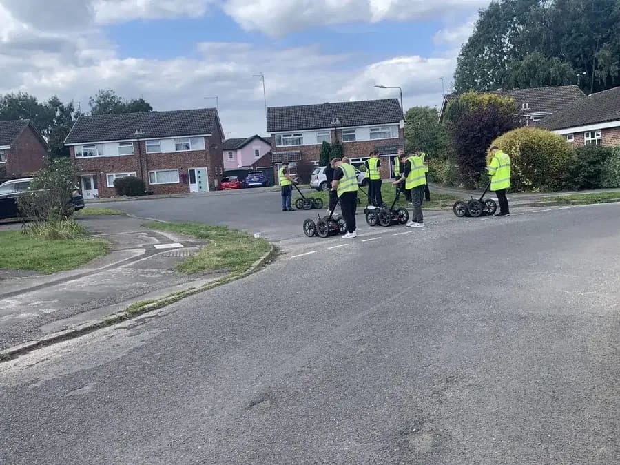
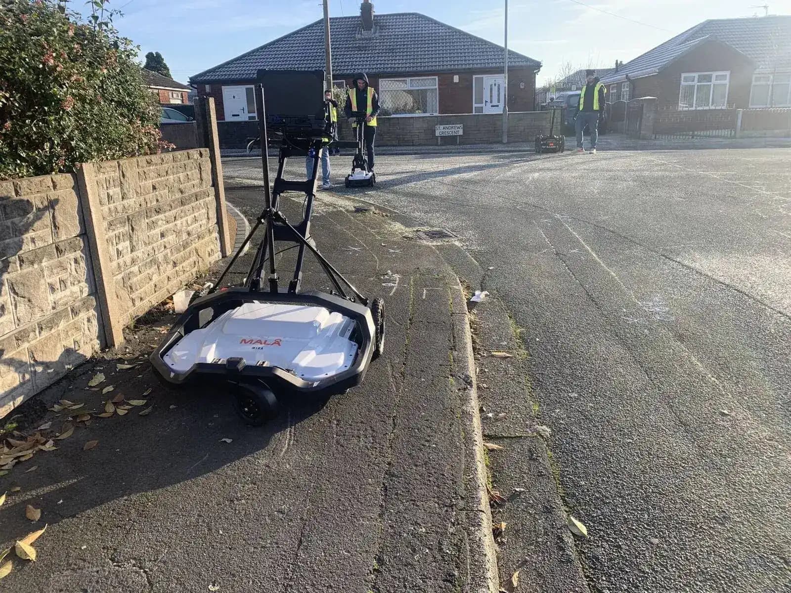
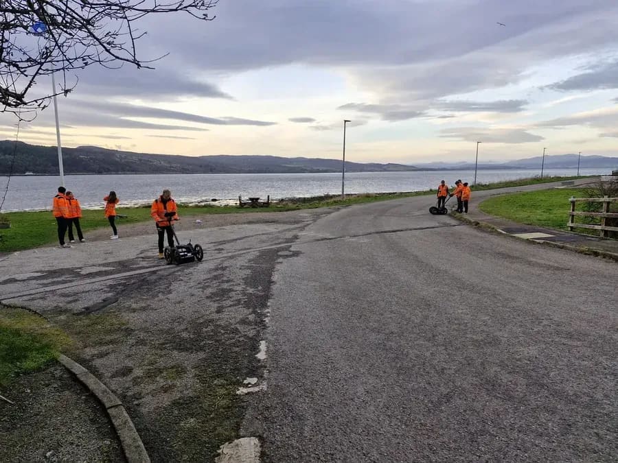
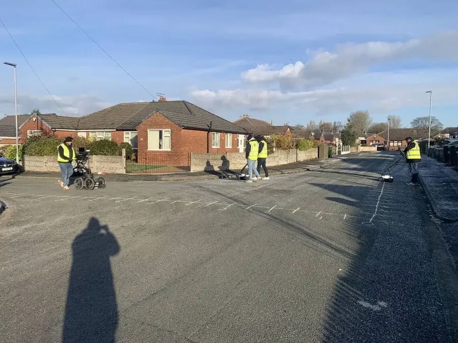
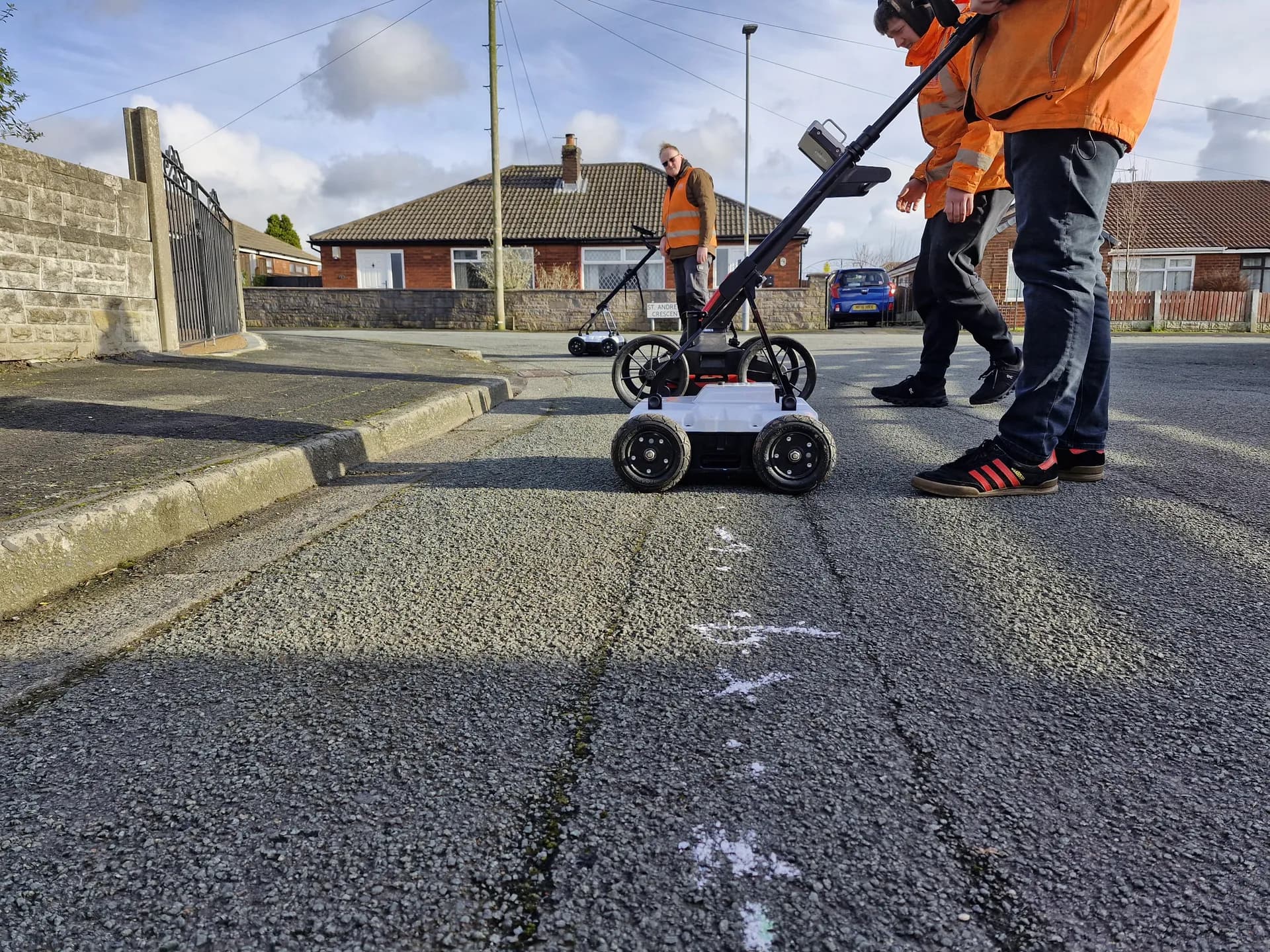
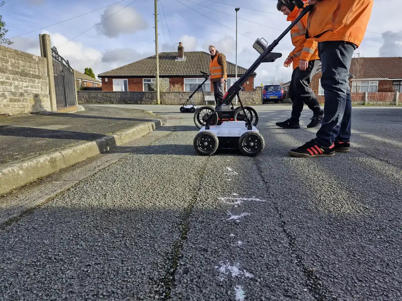
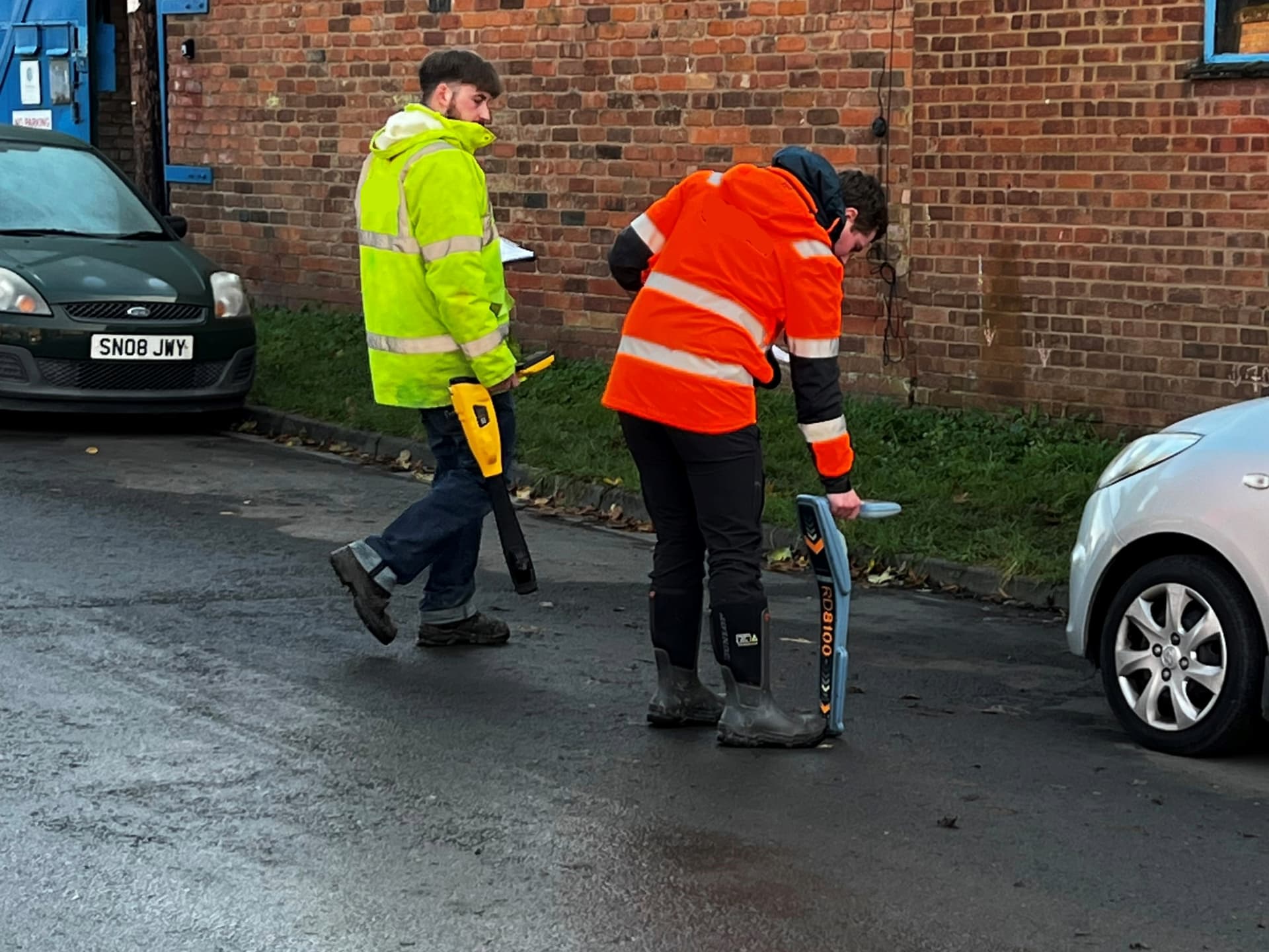
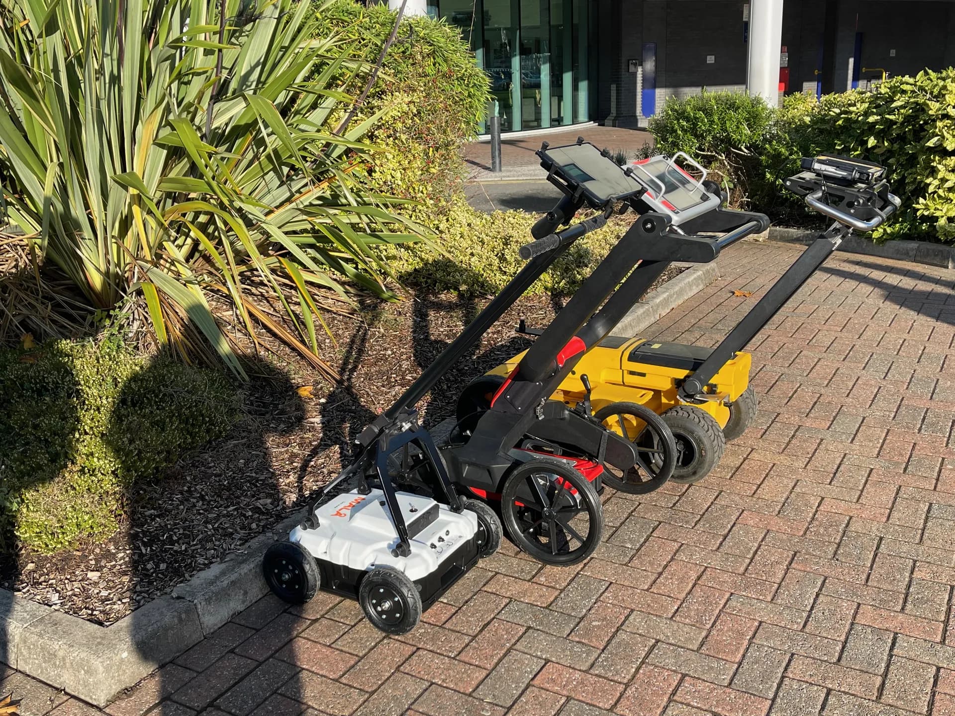
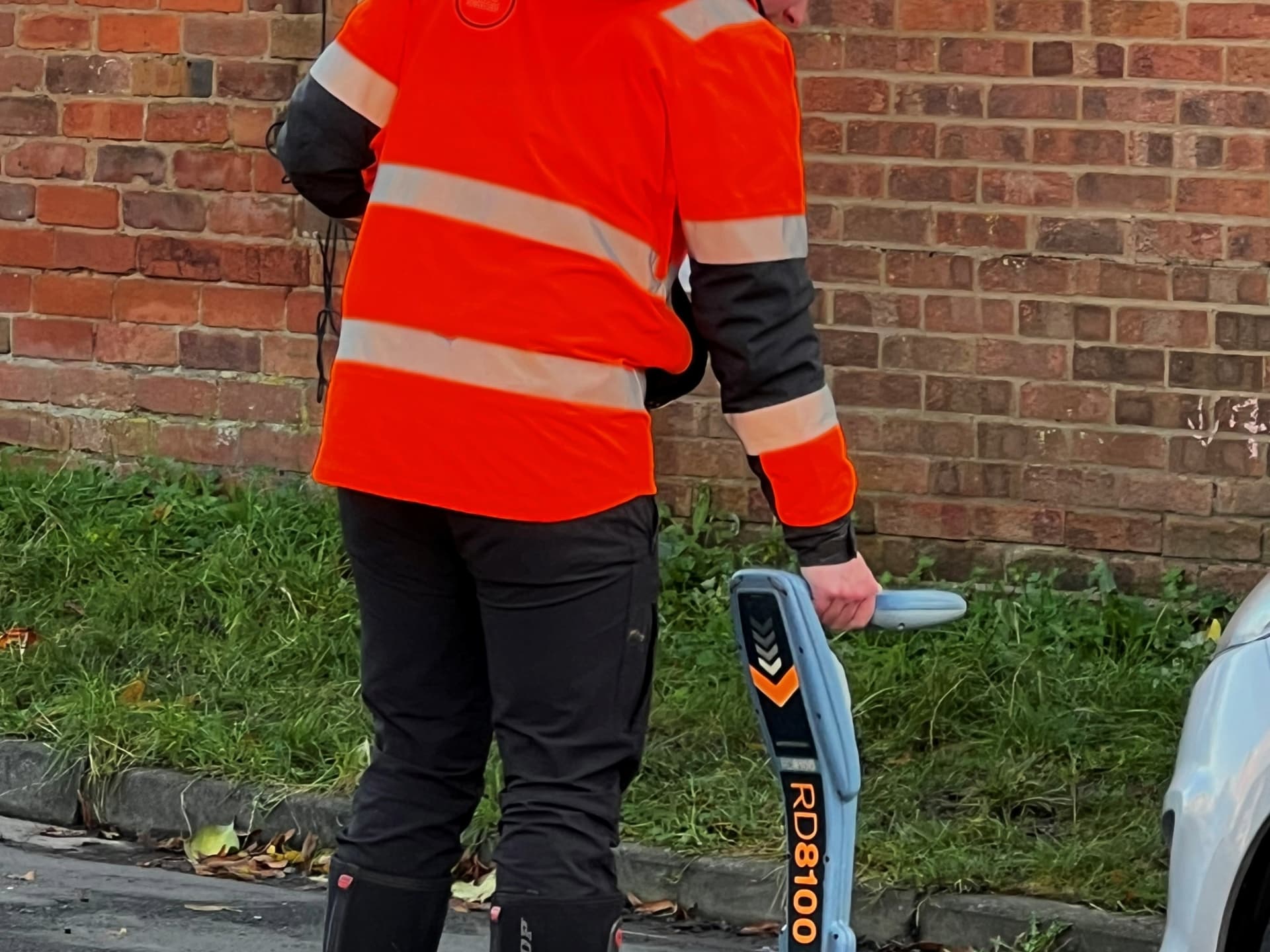
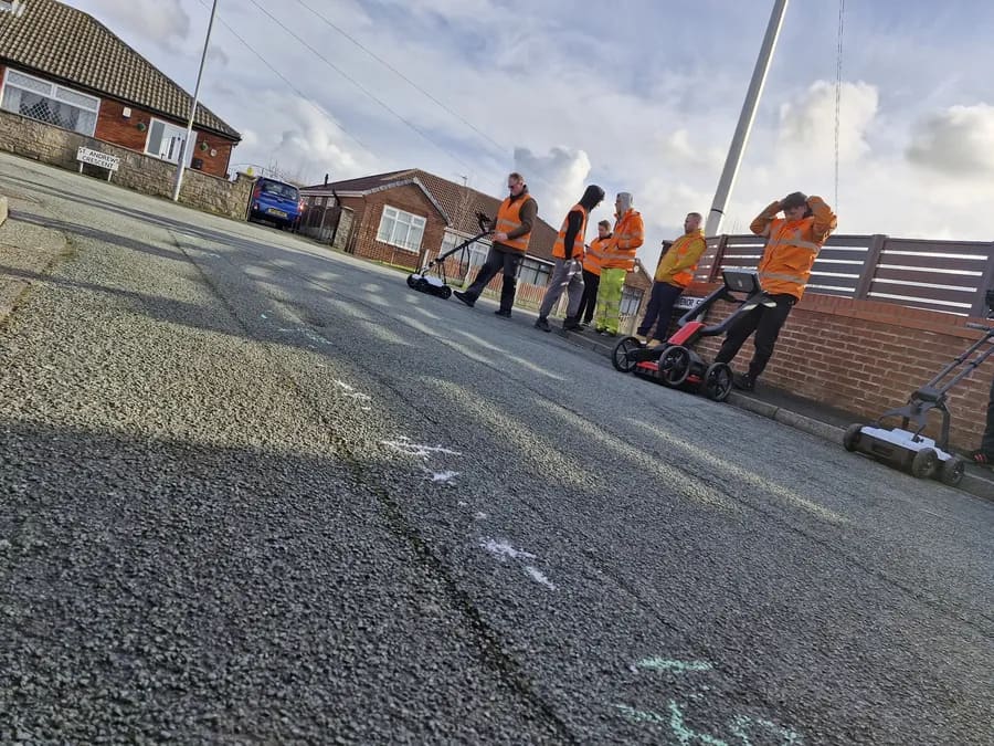
This unit covers identifying underground utilities and utility networks, colour coding of buried services, regulations and guidelines relating to the location of buried utilities, reading maps and drawings, and site reconnaissance. Candidates learn to locate buried services across different situations, survey small site areas as part of a two man team, and record the depth of underground utility services. It meets the requirements for PAS128 Survey Quality Levels D and C.
Unit 2
Carry Out Desktop Surveys and Communicate Findings
This unit covers the compilation of desktop utility surveys, identifying what data is required from stats plans and other utility plans, survey methods, communicating information, and preparing survey drawings. Candidates undertake comparison of desktop findings against the same survey site data, produce an overview of utility networks present, and demonstrate their ability to compile plans for construction and engineering teams. It also meets the requirements for PAS128 Survey Quality Levels D and C.
Assessment for the ProQual Level 3 Certificate in Utility Mapping is through a combination of documentary evidence against each unit's criteria and a written exam completed under exam conditions. Candidates must achieve the overall pass mark and provide proof that they have demonstrated the methods learned throughout the training course. Where workplace evidence does not cover the full range, knowledge evidence must be provided. Observed assessment may also be used to verify that candidates can successfully complete practical tasks. A knowledge workbook completed by the candidate is used alongside workplace submissions.
Process
How the Online Route Works
The online route allows you to work through the qualification at your own pace, from your normal place of work. You are not left to work through materials alone. A Sygma assessor provides full support and mentoring throughout, available via MS Teams.
Enrolment
You enrol with Sygma. Sygma registers you with ProQual as a candidate.
Materials Issued
You receive your e-portfolio framework and workbooks. These are your evidence guides for each unit.
Evidence Gathering
You undertake workplace evidence gathering against the assessment criteria for each unit. Sygma's assessor supports you throughout this training course.
Assessor Support Sessions
Regular MS Teams sessions with your Sygma assessor. Sessions are not recorded. A computer (not a phone) is required due to screen size.
Workbook Completion
You complete knowledge workbooks to cover any areas not fully evidenced by workplace submissions.
Assessment and Submission
Your completed evidence portfolio is assessed by Sygma and submitted to ProQual for quality assurance.
Certification
On successful completion, ProQual issues your RQF Level 3 Certificate. This certificate in utility mapping is registered on the national qualifications framework.
There is no fixed end date. Candidates typically complete the Level 3 over a period of weeks or months depending on their current workload and the volume of available workplace evidence. Your assessor will advise on a realistic timescale when you enrol. Pricing is fixed and transparent. There are no hidden fees and no extra charges for additional assessments. Contact us to discuss your enrolment.
What You Get
Choosing Your Route
Online Route or Fast-Track In-Person?
The Level 3 Diploma is available via two routes. The right choice depends on your circumstances.
| Online Route (this page) | 5-Day Surveyor Programme (in-person) | |
|---|---|---|
| Format | Self-paced, online training course. Evidence gathered from your own workplace. | 5-Day Surveyor ProgrammeIntensive in-person training course, typically one week. |
| Delivery | MS Teams assessor support throughout. Work from any location. | At a Sygma training venue or client site. |
| Includes | ProQual Level 3 assessment and certification. | ProQual Level 3 Diploma embedded within the five-day programme. |
| Duration | Flexible. Weeks to months depending on candidate availability and evidence volume. | Typically five days for the full programme. |
| Pricing | Contact us to discuss enrolment and pricing. | Contact us to discuss group and individual pricing. |
Career Pathway
The Full Qualification Pathway
The ProQual Level 3 Certificate is the starting point of the utility mapping and surveying qualification pathway. Every level Sygma offers sits within the same pathway with no external qualification body switches.
| Level | Qualification | |
|---|---|---|
| Level 3YOU ARE HERE | Diploma in Utility Mapping and Surveying | View Details › |
| Level 4 | Advanced EML and GPR Specialist | View Details › |
| Level 5 | Diploma in Utility Mapping and Surveying | View Details › |
| Level 6 | Diploma in Utility Mapping and Surveying Management | View Details › |
Why Sygma
Why Study With Sygma?
Flexible Online Format
Complete your Level 3 Certificate in Utility Mapping remotely with live training and tutor support. Not pre-recorded content.
ProQual Approved Centre
Your qualification is assessed and certified by a recognised awarding organisation. No shortcuts.
Specialist Assessors
Sygma's assessors are experienced utility mapping engineers who work at the intersection of training and professional practice.
Full Portfolio Support
You are not alone. A Sygma assessor is available to support you throughout the qualification.
Independent
Sygma is independent and owns the training process from start to finish.
Same Qualification, Flexible Delivery
Same ProQual Level 3 Diploma, same assessment criteria, same certificate. Online just works better for you.
CITB Employer Network Funding
Sygma is a CITB ATO. Contact your CITB Employer Network adviser about funding support for your enrolment. Availability varies by employer and is not guaranteed.
Common Questions
Frequently Asked Questions
How is the online Level 3 delivered?
What equipment do I need?
How long does it take to complete?
Do I need any prior qualifications?
Is the qualification the same as the classroom version?
Can my employer claim CITB funding?
What practical skills will I develop during this training course?
How is the Level 3 Certificate in Utility Mapping assessed?
Do I need to undertake site visits during the online route?
What equipment and methods are covered in this training course?
Related Courses
Continue Your Journey
Level 3 Certificate
The fast-track in-person route to the same ProQual Level 3 Diploma if you prefer classroom-based learning.
Level 4 Diploma
Advanced specialism in EML and GPR. The natural next step after completing Level 3.
PAS128 Awareness
Understand the PAS128 standard itself. Useful for anyone commissioning or receiving utility surveys.
Enrol or Enquire
To discuss enrolment on this utility mapping training course, pricing, or whether the online route is right for your circumstances, get in touch with the Sygma team. No hidden fees, no extra charges for additional assessments.